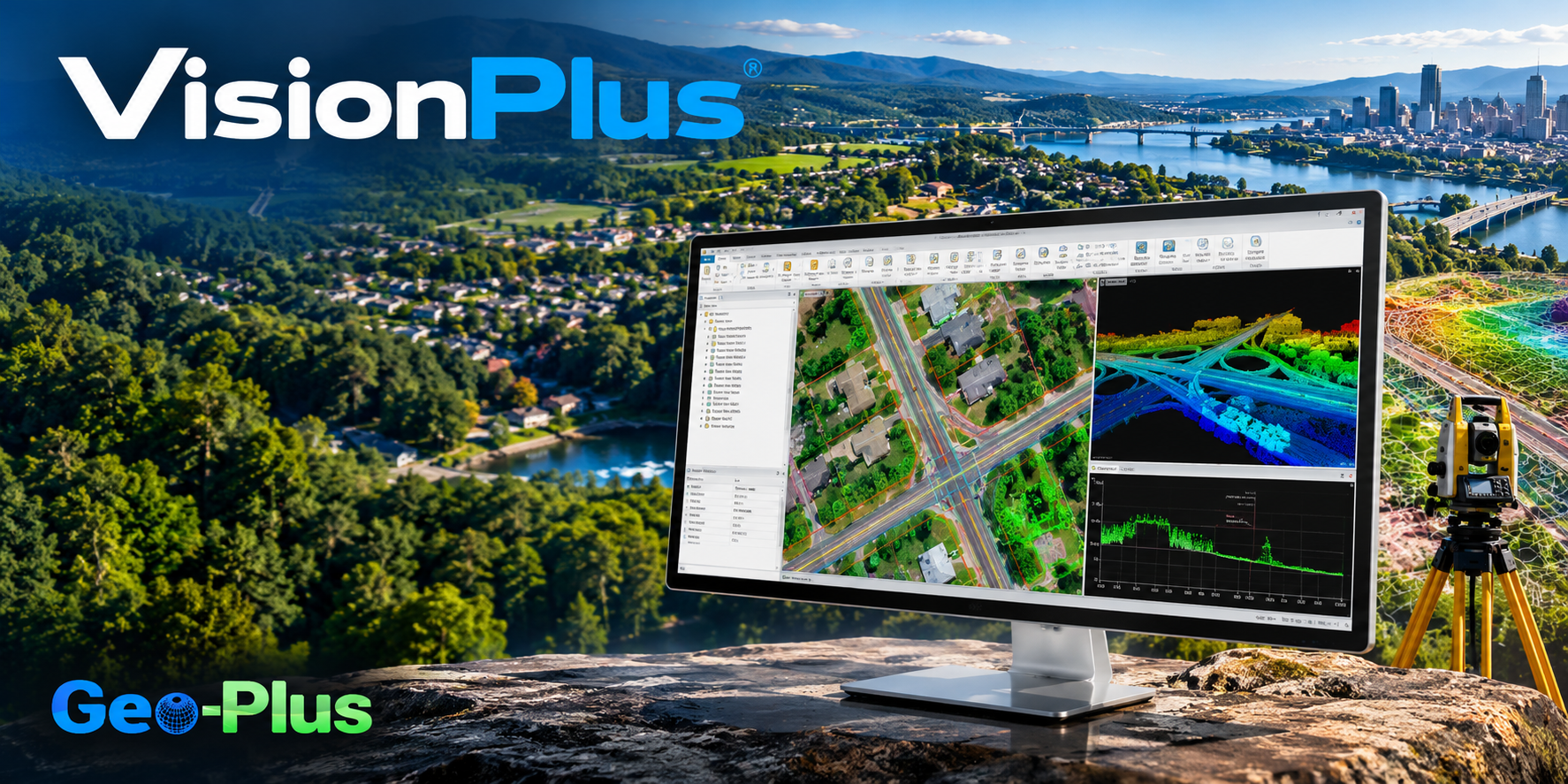
The whole survey-to-design workflow, right inside your CAD.
VisionPlus adds COGO, an intelligent parcels manager, building siting, alignments, surfaces and earthwork to AutoCAD, Civil 3D, BricsCAD and MicroStation — so you go from field data to a finished plan without ever leaving your drawing.
VisionPlus utilities running live inside Autodesk Civil 3D 2027
Since 1987
Built by land surveyors, for land surveyors
4 CAD platforms
AutoCAD · Civil 3D · BricsCAD · MicroStation
One database
Points, parcels, surfaces & alignments together
Field → design
Data collector to deliverable in one suite
What you can do
Six workflows your team runs every week — in one add-in
Everything below was captured from VisionPlus running live in Civil 3D. No round-tripping between disconnected tools, no re-keying coordinates.
01 COGO & Field Data
Turn raw field data into clean geometry
Work directly from your data collector. VisionPlus pulls GPS and total-station observations, ASCII, LandXML and its own Vision database into one place, then runs the coordinate geometry you rely on every day.
The intelligent, topologic parcels manager builds lots from your survey points or from an existing draft — and keeps areas, bearings, distances and curve tables in sync automatically.
Auto-create parcels from points or existing linework
Live areas, bearings & distances, and curve (radius) tables
Straight and curved boundaries handled in one topology
Advanced land-records tools for cadastral deliverables
03 Building Siting
Place buildings with survey-grade precision
The building siting manager lets you drop, move and rotate a footprint inside a parcel while respecting your chosen setbacks and constraints — then documents the placement for setting out.
Build the outline plus appendices and interior courtyards
Position footprints against parcel constraints and setbacks
Automatic translation, rotation and scale-factor solving
Full transformation report and building layout / setting-out
04 Alignments
Horizontal alignments from your points
Build alignments straight from picked points or a polyline, then query, extend and report — with LandXML in and out for a clean handoff to design.
Create alignments from points or an existing polyline
Distance & offset queries; new points by distance / offset
Generate left and right right-of-way alignments
Import / export LandXML and report along the alignment
05 Surfaces & DTM
Every surface in one project database
Create, edit and triangulate surfaces from points, breaklines, an outline and exclusion holes — then draw them as triangles, contours, grids or sections, all inside one VisionPlus project.
Delaunay triangulation or nearest-neighbour grid models
Points, outline, breaklines & exclusion holes on tabs
See point, breakline & triangle counts per surface
Copy, merge, group and move surfaces to solids
06 Earthwork & Volumes
Volumes four ways, with an audit trail
Compute earthwork the way the job demands — surface-to-surface, against a level plane, by cross-sections or from solids — with bulking factors, differential contours and a full report.
Four volume methods: surfaces, planes, cross-sections, solids
Triangulation or grid, with breakline-aware calculation
Apply bulking factors and generate differential contours
Delimit the zone and save the resulting intersection surfaces
The full toolbox
Everything in the suite, from first setup to final section
The six workflows above are the highlights. Underneath sits the complete VisionPlus toolset — the same Basic and Advanced training modules your crew would learn, grouped here so you can see the depth at a glance.
Less re-keying. Fewer tools. A cleaner deliverable.
Accuracy you can defend
Least-squares transforms, control-coordinate reports and topologic areas mean the numbers on your plan trace back to the field.
One environment
COGO, cadastre, alignments, surfaces and volumes live in the CAD you already use — not five separate programs.
Clean data exchange
ASCII, LandXML, JXL, DTM and data-collector formats in and out, so field crews and designers stay in sync.
Cadastre-ready
An intelligent, topologic parcels manager builds lots, areas and legal geometry automatically — curves included.
Design-grade surfaces
Triangulate from points and breaklines, then contour, grid and section — with four volume methods for earthwork.
LIDAR-ready
Aerial and mobile LIDAR point clouds sit alongside your survey data in the same VisionPlus project database.
Works where you work
Runs inside the CAD you already own
VisionPlus integrates directly into your standard CAD platform — keep your drawings, layers and standards, and add the survey and civil tools on top.
Autodesk AutoCAD
Autodesk AutoCAD Map
Autodesk Civil 3D
Bricsys BricsCAD
Bentley MicroStation
Bentley PowerDraft
See VisionPlus on your own data
Bring a recent field file and we’ll walk it through COGO, parcels, surfaces and volumes — live, in your CAD. Most surveyors see the time savings in the first ten minutes.
Sales overview prepared from the product-owner walkthrough recorded 07‑07‑2026. Screenshots captured from that session (VisionPlus in Autodesk Civil 3D 2027). For evaluation and demonstration use.
VisionPlus
I 10 principali vantaggi di VisionPlus
Dal campo alla planimetria finale, VisionPlus automatizza le operazioni, garantisce i risultati e accelera la produzione di elaborati professionali.
01Vantaggio principale
Automatizza la creazione delle tue planimetrie
Trasforma rapidamente i dati di campo in disegni professionali grazie alla creazione automatica di punti, segmenti, distanze, direzioni, annotazioni e particelle.
02Produttività
Risparmia tempo in ogni fase
Riduci le attività manuali e ripetitive, dall'importazione delle osservazioni fino alla produzione della planimetria finale.
03Affidabilità
Fornisci risultati accurati e affidabili
Convalida le tue osservazioni, applica le tue tolleranze e individua gli errori prima che raggiungano gli elaborati finali.
04Controllo
Centralizza tutti i tuoi dati di rilievo
Raggruppa libretti di campagna, coordinate, calcoli, particelle, edifici, ricerche, decisioni e relazioni in un unico ambiente strutturato.
05COGO
Semplifica i tuoi calcoli COGO
Calcola in modo efficiente poligonali, angoli, intersezioni, aree, curve, scostamenti e servitù di passaggio con strumenti specializzati.
06Particelle
Automatizza la gestione delle particelle
Crea, modifica, convalida e disegna automaticamente lotti o porzioni di lotti a partire da punti rilevati o progetti esistenti.
07Qualità
Rendi sicure le tue compensazioni e trasformazioni
Compensa le tue osservazioni e trasforma le tue coordinate mantenendo un controllo più rigoroso sulla qualità e sulla coerenza dei dati.
08Standardizzazione
Standardizza i tuoi metodi di lavoro
Configura VisionPlus in base agli standard, alle impostazioni di disegno e alle procedure della tua organizzazione per ottenere elaborati coerenti in ogni progetto.
09Tracciabilità
Semplifica la ricerca e la tracciabilità
Trova rapidamente i punti, le particelle, gli edifici, le osservazioni e le informazioni di progetto di cui hai bisogno, mantenendo la cronologia necessaria per le revisioni.
10Integrazione
Lavora all'interno del tuo ambiente CAD preferito
Utilizza gli strumenti specializzati di VisionPlus direttamente all'interno di AutoCAD®, BricsCAD®, MicroStation®, PowerDraft® e InCAD ODA, senza cambiare il tuo modo di lavorare.
VisionPlus automatizza il processo di rilievo, centralizza i dati e trasforma le osservazioni di campagna in elaborati precisi, coerenti e pronti per la consegna in tempi più rapidi.
"CIMA+ riduce del 75 % lo spazio occupato dalle nuvole di punti con VL365"
Da 40 TB di scansioni strutturate a 10 TB di LAZ unificati in VL365: la stessa precisione, la stessa densità e le stesse viste immersive a 360° — senza addebiti per posizione di scansione né vincoli di formato.