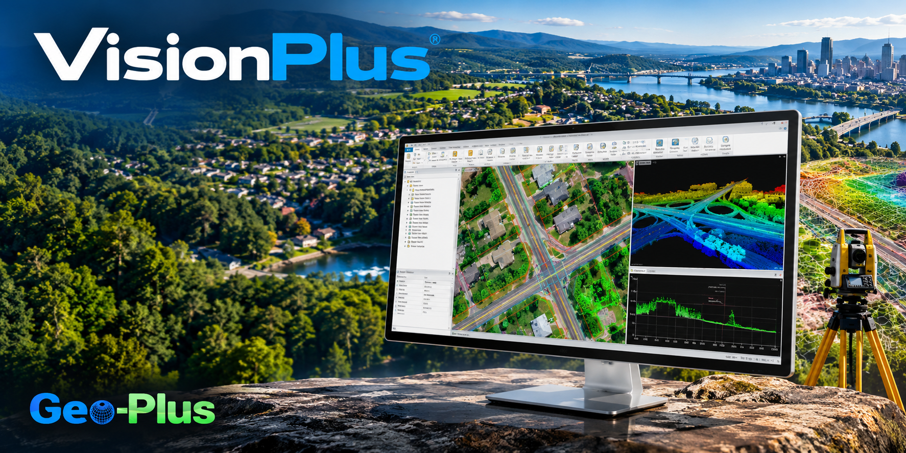
The whole survey-to-design workflow, right inside your CAD.
VisionPlus adds COGO, an intelligent parcels manager, building siting, alignments, surfaces and earthwork to AutoCAD, Civil 3D, BricsCAD and MicroStation — so you go from field data to a finished plan without ever leaving your drawing.
VisionPlus utilities running live inside Autodesk Civil 3D 2027
Since 1987
Built by land surveyors, for land surveyors
4 CAD platforms
AutoCAD · Civil 3D · BricsCAD · MicroStation
One database
Points, parcels, surfaces & alignments together
Field → design
Data collector to deliverable in one suite
What you can do
Six workflows your team runs every week — in one add-in
Everything below was captured from VisionPlus running live in Civil 3D. No round-tripping between disconnected tools, no re-keying coordinates.
01 COGO & Field Data
Turn raw field data into clean geometry
Work directly from your data collector. VisionPlus pulls GPS and total-station observations, ASCII, LandXML and its own Vision database into one place, then runs the coordinate geometry you rely on every day.
The intelligent, topologic parcels manager builds lots from your survey points or from an existing draft — and keeps areas, bearings, distances and curve tables in sync automatically.
Auto-create parcels from points or existing linework
Live areas, bearings & distances, and curve (radius) tables
Straight and curved boundaries handled in one topology
Advanced land-records tools for cadastral deliverables
03 Building Siting
Place buildings with survey-grade precision
The building siting manager lets you drop, move and rotate a footprint inside a parcel while respecting your chosen setbacks and constraints — then documents the placement for setting out.
Build the outline plus appendices and interior courtyards
Position footprints against parcel constraints and setbacks
Automatic translation, rotation and scale-factor solving
Full transformation report and building layout / setting-out
04 Alignments
Horizontal alignments from your points
Build alignments straight from picked points or a polyline, then query, extend and report — with LandXML in and out for a clean handoff to design.
Create alignments from points or an existing polyline
Distance & offset queries; new points by distance / offset
Generate left and right right-of-way alignments
Import / export LandXML and report along the alignment
05 Surfaces & DTM
Every surface in one project database
Create, edit and triangulate surfaces from points, breaklines, an outline and exclusion holes — then draw them as triangles, contours, grids or sections, all inside one VisionPlus project.
Delaunay triangulation or nearest-neighbour grid models
Points, outline, breaklines & exclusion holes on tabs
See point, breakline & triangle counts per surface
Copy, merge, group and move surfaces to solids
06 Earthwork & Volumes
Volumes four ways, with an audit trail
Compute earthwork the way the job demands — surface-to-surface, against a level plane, by cross-sections or from solids — with bulking factors, differential contours and a full report.
Four volume methods: surfaces, planes, cross-sections, solids
Triangulation or grid, with breakline-aware calculation
Apply bulking factors and generate differential contours
Delimit the zone and save the resulting intersection surfaces
The full toolbox
Everything in the suite, from first setup to final section
The six workflows above are the highlights. Underneath sits the complete VisionPlus toolset — the same Basic and Advanced training modules your crew would learn, grouped here so you can see the depth at a glance.
Less re-keying. Fewer tools. A cleaner deliverable.
Accuracy you can defend
Least-squares transforms, control-coordinate reports and topologic areas mean the numbers on your plan trace back to the field.
One environment
COGO, cadastre, alignments, surfaces and volumes live in the CAD you already use — not five separate programs.
Clean data exchange
ASCII, LandXML, JXL, DTM and data-collector formats in and out, so field crews and designers stay in sync.
Cadastre-ready
An intelligent, topologic parcels manager builds lots, areas and legal geometry automatically — curves included.
Design-grade surfaces
Triangulate from points and breaklines, then contour, grid and section — with four volume methods for earthwork.
LIDAR-ready
Aerial and mobile LIDAR point clouds sit alongside your survey data in the same VisionPlus project database.
Works where you work
Runs inside the CAD you already own
VisionPlus integrates directly into your standard CAD platform — keep your drawings, layers and standards, and add the survey and civil tools on top.
Autodesk AutoCAD
Autodesk AutoCAD Map
Autodesk Civil 3D
Bricsys BricsCAD
Bentley MicroStation
Bentley PowerDraft
See VisionPlus on your own data
Bring a recent field file and we’ll walk it through COGO, parcels, surfaces and volumes — live, in your CAD. Most surveyors see the time savings in the first ten minutes.
Sales overview prepared from the product-owner walkthrough recorded 07‑07‑2026. Screenshots captured from that session (VisionPlus in Autodesk Civil 3D 2027). For evaluation and demonstration use.
VisionPlus
Os 10 principais benefícios do VisionPlus
Do terreno à planta final, o VisionPlus automatiza operações, assegura resultados e acelera a produção de entregáveis profissionais.
01Principal benefício
Automatize a criação das suas plantas
Transforme rapidamente os seus dados de terreno em desenhos profissionais com a criação automatizada de pontos, segmentos, distâncias, direções, anotações e parcelas.
02Produtividade
Poupe tempo em cada etapa
Elimine tarefas manuais e repetitivas, desde a importação de observações até à produção da planta final.
03Fiabilidade
Entregue resultados precisos e fiáveis
Valide as suas observações, aplique as suas tolerâncias e detete erros antes de chegarem aos seus entregáveis.
04Controlo
Centralize todos os seus dados de levantamento
Reúna cadernetas de campo, coordenadas, cálculos, parcelas, edifícios, pesquisas, decisões e relatórios num único ambiente estruturado.
05COGO
Simplifique os seus cálculos COGO
Calcule eficientemente poligonais, ângulos, interseções, áreas, curvas, desvios e servidões de passagem com ferramentas especializadas.
06Parcelas
Automatize a gestão de parcelas
Crie, edite, valide e desenhe automaticamente lotes ou frações de lotes a partir de pontos de campo ou de projetos existentes.
07Qualidade
Assegure os seus ajustamentos e transformações
Ajuste as suas observações e transforme as suas coordenadas mantendo um controlo mais rigoroso sobre a qualidade e a consistência dos dados.
08Normalização
Normalize os seus métodos de trabalho
Configure o VisionPlus de acordo com as normas da sua organização, definições de desenho e procedimentos para entregáveis consistentes em todos os projetos.
09Rastreabilidade
Facilite a pesquisa e a rastreabilidade
Encontre rapidamente os pontos, parcelas, edifícios, observações e informações de projeto de que necessita, mantendo o histórico necessário para revisão.
10Integração
Trabalhe no seu ambiente CAD preferido
Utilize as ferramentas especializadas do VisionPlus diretamente no AutoCAD®, BricsCAD®, MicroStation®, PowerDraft® e InCAD ODA, sem alterar a sua forma de trabalhar.
O VisionPlus automatiza o processo de levantamento, centraliza dados e transforma observações de campo em plantas precisas, consistentes e prontas para entrega mais rapidamente.
"A CIMA+ reduz em 75 % o espaço ocupado pelas suas nuvens de pontos com o VL365"
De 40 TB de digitalizações estruturadas para 10 TB de LAZ unificado no VL365: a mesma precisão, a mesma densidade e as mesmas vistas imersivas de 360° — sem faturação por posição de digitalização nem dependência de formato.