
VisionExpertise
Professional network for the geomatics industry.
A dedicated platform to showcase your firm, publish opportunities and connect with the geomatics community.
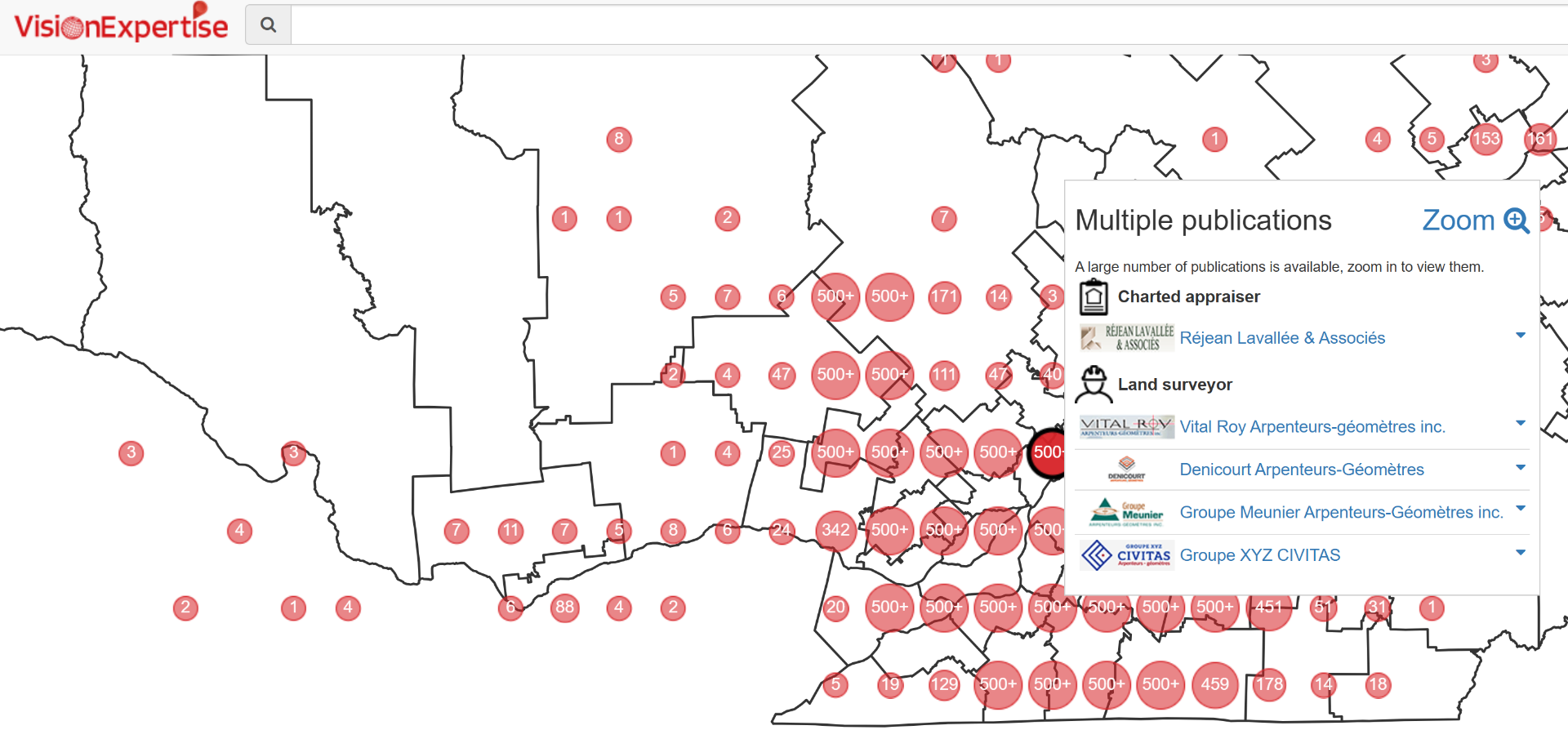
VisionExpertise Showcase your expertise. Get found. Create opportunities.
An online professional showcase that makes your expertise visible and connects you with the right clients.
Increase the visibility of your expertise
Present your projects, skills and services to a broad network of potential clients. VisionExpertise turns your work into a professional showcase available online.
Attract qualified clients nearby
With geolocation, clients easily find the professionals working in their region. Your expertise reaches the right audience, in the right place, at the right time.
Publish your VisionDoc projects easily
Share projects and activities straight from VisionDoc to keep a current professional portfolio without re-entering your information.
Grow your professional network
Connect with architects, engineers, surveyors and other industry specialists. Build partnerships, exchange ideas and uncover new business opportunities.
Stand out in your market at no cost
Publish your projects for free and build a credible digital presence. VisionExpertise helps you demonstrate your know-how concretely and earn prospects' trust.
Land surveying and engineering firms, architecture, property assessment, municipalities, government departments, public utilities.
Portfolio, certifications and project references.
Post jobs, match candidates.
Discussion, resources and event coverage.

"CIMA+ cuts its point cloud footprint by 75% with VL365"
From 40 TB of structured scans to 10 TB of unified LAZ on VL365: same accuracy, same density, same immersive 360° views — no more per-scan-position billing and no format lock-in.
Read more customer stories →Request a VisionExpertise demo
Tell us about your project, a senior specialist will get back within one business day.
Ready to see VisionExpertise in action?
Book a live demo tailored to your workflow.