
Insights from the Geo-Plus team.
Technical deep dives, workflow guides and honest opinions on reality capture, BIM, cadastre and civil engineering — written by the engineers who build the Vision Suite.
Latest news
Geo-Plus publishes its VL365 2027 feature guide
Geo-Plus has published a dedicated guide to VL365 R1-2027, version 37.0. The guide brings together the supplied release presentation, feature descriptions and screenshots so visitors can review the changes before requesting a demonstration.
Free Viewer installer now available on geo-plus.com
The free Viewer page on geo-plus.com now provides an actual Windows installer after its request form, replacing the previous promise of a download link from the team.
Geo-Plus expands point cloud and LiDAR resources in four languages
Geo-Plus has added dedicated point cloud software and LiDAR processing pages in English, French, Spanish and German. The new resources give visitors a localized starting point for exploring the software range.
Meet us at 2027 trade shows

LiDAR Software for Surveyors: 7 Frequently Asked Questions
Point clouds, classification, deliverables, CAD and sharing: questions to prepare your VisionLidar demo.

VisionCivil Pro: Civil Design Software from Survey to Plan-and-Profile Sheets
How VisionCivil Pro handles alignments, profiles, corridors, grading and quantities directly inside AutoCAD, Civil3D, MicroStation and BricsCAD.

Scan-to-BIM: How to Turn Point Clouds into BIM Models
A practical scan-to-BIM workflow: capture, point cloud processing, semi-automatic extraction of walls, slabs and columns, IFC export to Revit and deviation checks.
Point Cloud Software: 8 Questions to Ask Before You Choose
How to choose point cloud software for LiDAR data: project size, sources, classification, extraction, deliverables, CAD and sharing.
LiDAR Software for Italian Surveyors: 7 Frequently Asked Questions
Answers to the questions Italian surveyors ask about LiDAR software: point clouds, classification, deliverables, CAD, sharing and demos.
LiDAR Processing: 5 Steps from Raw Point Cloud to CAD Deliverable
A practical guide to LiDAR processing: import, classify, extract, produce and share LiDAR point clouds with point cloud software.
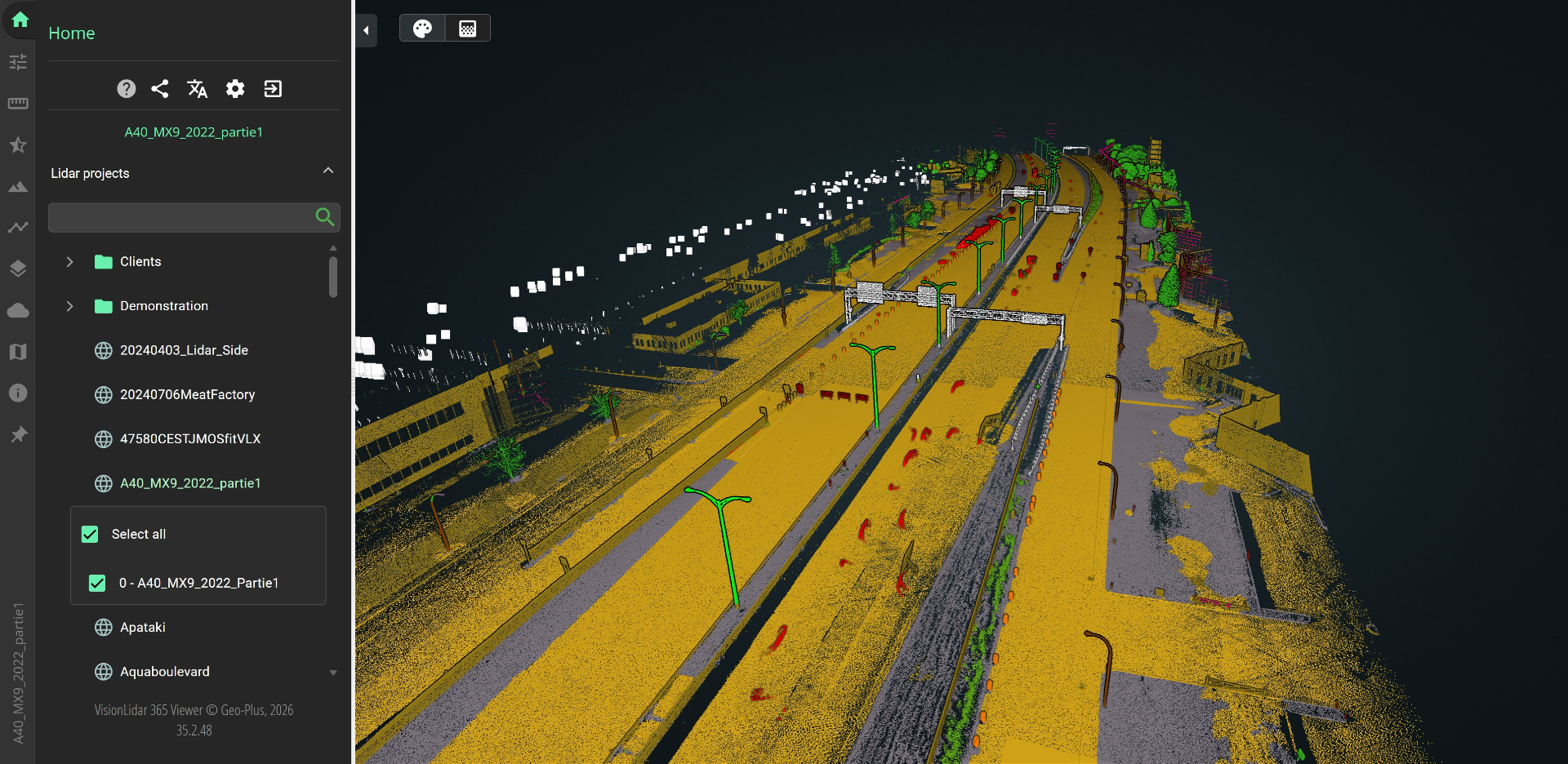
From 40 TB to 10 TB: How CIMA+ Cut Its Point Cloud Footprint by 75% Without Losing a Single Point
Their previous platform billed every scan position and forced heavy structured scans to keep imagery linked to points. VL365 broke the lock: same accuracy, same immersive views, a quarter of the data, and total format freedom.
The State of Automatic Point Cloud Classification in 2026
How deep learning has finally made ground, vegetation and building classification a solved problem — and what surveyors should do next.
Scan-to-BIM in Under a Day: A Real Project Walkthrough
A 4,200 m² office renovation from raw scan to LOD 300 Revit model in 6.5 hours using VisionBIM.

The Ministry of Natural Resources keeps its cadastre up to date with VisionCadastre Pro
How one land registry cut parcel update turnaround from 14 days to 48 hours.
LiDAR Software Buyer's Guide 2026
What to evaluate when picking point cloud software — beyond feature checklists.

Field-to-Finish Automation: What Actually Works
A pragmatic look at coding conventions, drafting rules and the 20% of automation that delivers 80% of the value.
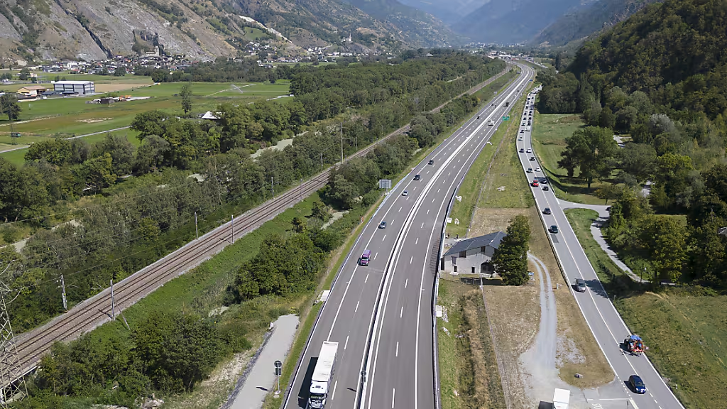
Linear Referencing for Modern Rail Corridors
Why LRS is the backbone of rail asset management — and how VisionLRS makes it approachable.
See Geo-Plus in your workflow.
Book a 30-minute demo with a senior product specialist, tailored to your industry.