CIMA+, one of Canada's largest multidisciplinary engineering firms, runs reality capture on every kind of site: tripod-mounted terrestrial scanners, vehicle and backpack mobile mapping, SLAM units. Each scanner position produced a structured scan — its own file, its own panoramic imagery, its own overlap with neighbouring stations. Forty terabytes of it, online.
The trap was the pricing model. Their previous cloud platform billed per scan position: a 100 MB setup cost exactly the same as a 1 GB setup. And to keep imagery linked to the point cloud, the platform required structured scans — the heaviest way to carry the data, imposed with no alternative. The invoice was welded to how the crews worked in the field, and the format was welded to the platform. The better the team scanned, the more it paid.
The fix was to move from structured to unified. A unified scan merges every station into a single clean, deduplicated point cloud: redundant overlap disappears, the geometry stays. Exported to LAZ — the open industry standard — a site that weighed 4 GB as structured data typically lands around 1 GB.
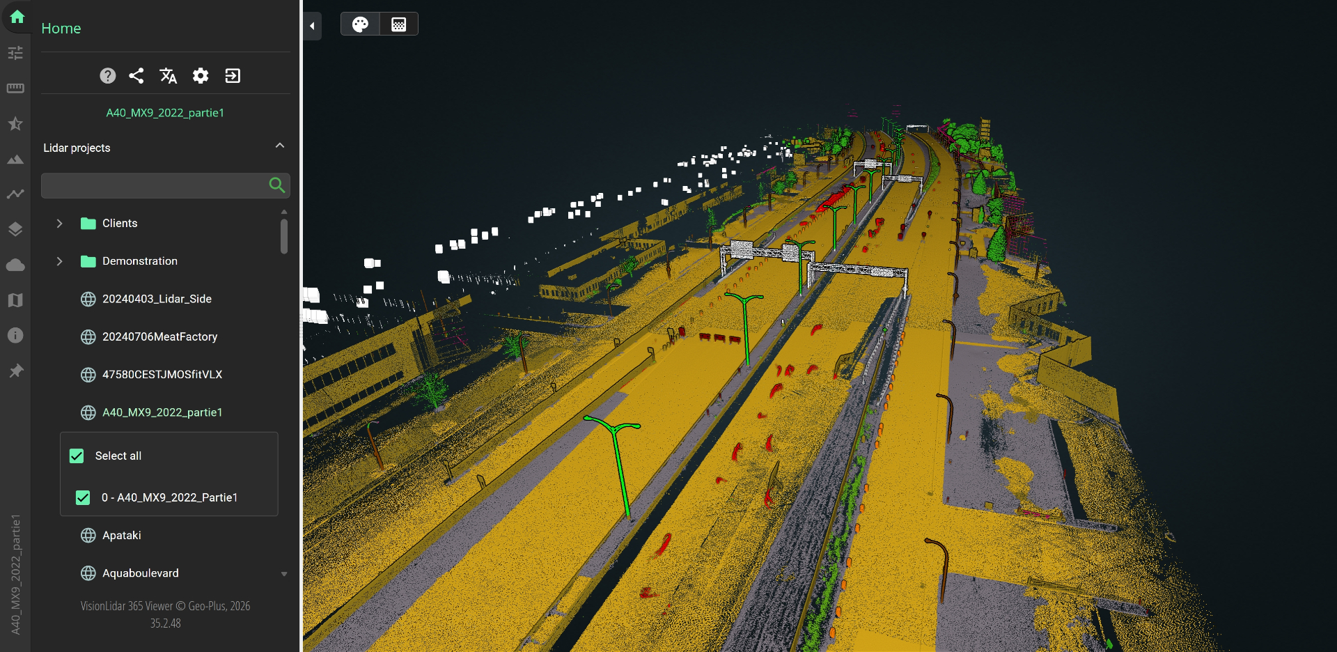
Critically, VisionLidar exports trajectory files and spherical JPG images alongside the cloud. The image-to-point link, the only reason structured scans existed, survives intact: you can still stand at any scanner position and look around in full 360°. Accuracy, density and precision are properties of the points, not of the container that carries them — the migration changes only the container.
The workflow is five steps in VisionLidar desktop: import the raw structured scans (FARO .lsproj/FLS series and E57 from terrestrial, mobile and SLAM sensors), open and validate registration, colourization and station imagery, export one unified LAZ, export the trajectory file with the standalone JPGs, then publish LAZ + trajectory + JPGs to VL365. No third-party tools, no re-registration, no format gymnastics. And the conversion itself is included in the free version of VisionLidar desktop — CIMA+ freed 40 TB of archives without buying a single conversion licence.
The results: 40 TB down to 10 TB, a 75% smaller footprint, zero loss of accuracy, density or precision, and cost decoupled from field effort. VL365 pricing is independent of the number of scans, and upload and download are unlimited — so crews can capture as densely as the project demands. VL365 is now included in every CIMA+ project, where it used to be sold as an option.
What the team kept beyond the storage savings: archives in an open, universal format with no vendor dependency; SaaS or on-premise deployment with OpenID Connect single sign-on for public infrastructure clients under data sovereignty rules; granular roles for clients, reviewers and subcontractors; points of interest with notes, photos, links and documents; browser streaming that needs no desktop licence; profiles and cross sections; AutoCAD Map and ArcGIS Online connectors; a VR-ready viewer; LAS and RCP export straight from the browser; and their own logo and domain — CIMA+ serves the platform at cima.geo-plus-cloud.com.
Lighter data, lighter invoice, lighter footprint. Every terabyte in the cloud is powered, cooled and replicated 365 days a year. Store 30 TB less and all three follow: the cheapest and cleanest terabyte is the one you never store.