
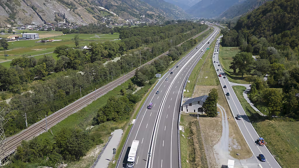
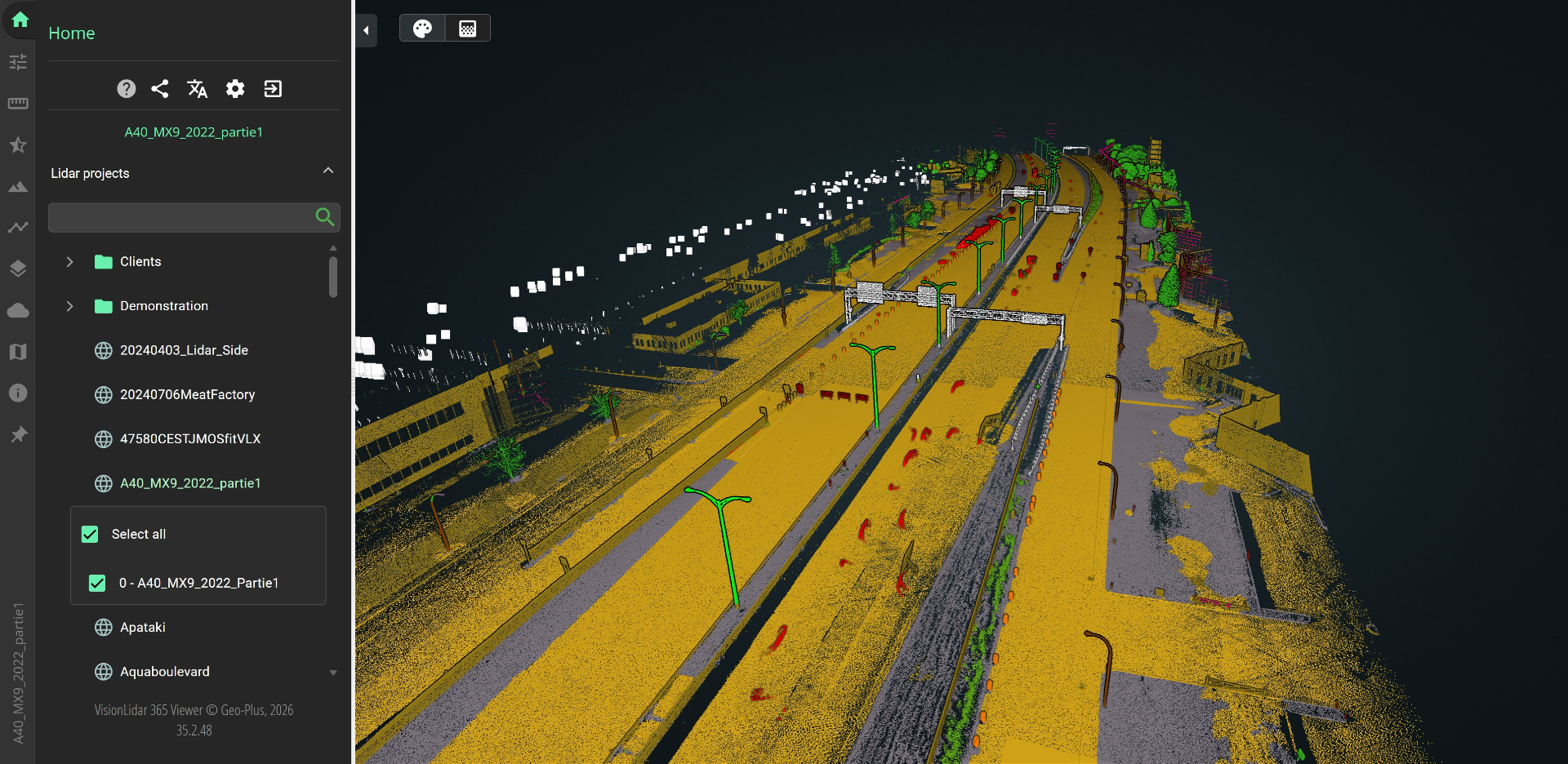
In a linear corridor, every asset is defined by its position along a Linear Referencing System (LRS). Our solution lets you easily locate yourself on a segment — even in multi-level configurations — and instantly attach georeferenced notes and photos to that position. Without this LRS reference, no GIS tool can accurately reproduce the location of your assets.

See Geo-Plus in your workflow.
Book a 30-minute demo with a senior product specialist, tailored to your industry.