
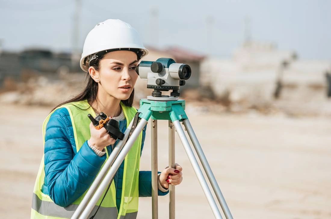
Geomatics brings together surveying, geodesy, GNSS, LiDAR, photogrammetry, remote sensing and GIS to measure and manage information about the land.
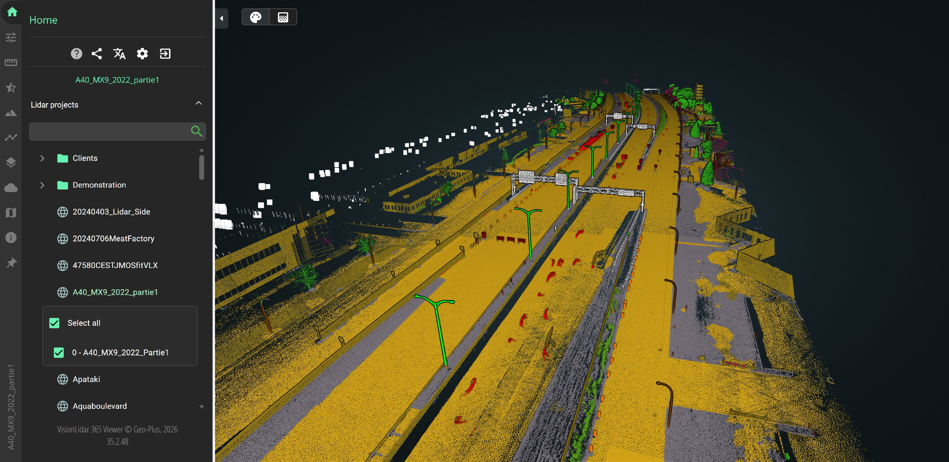
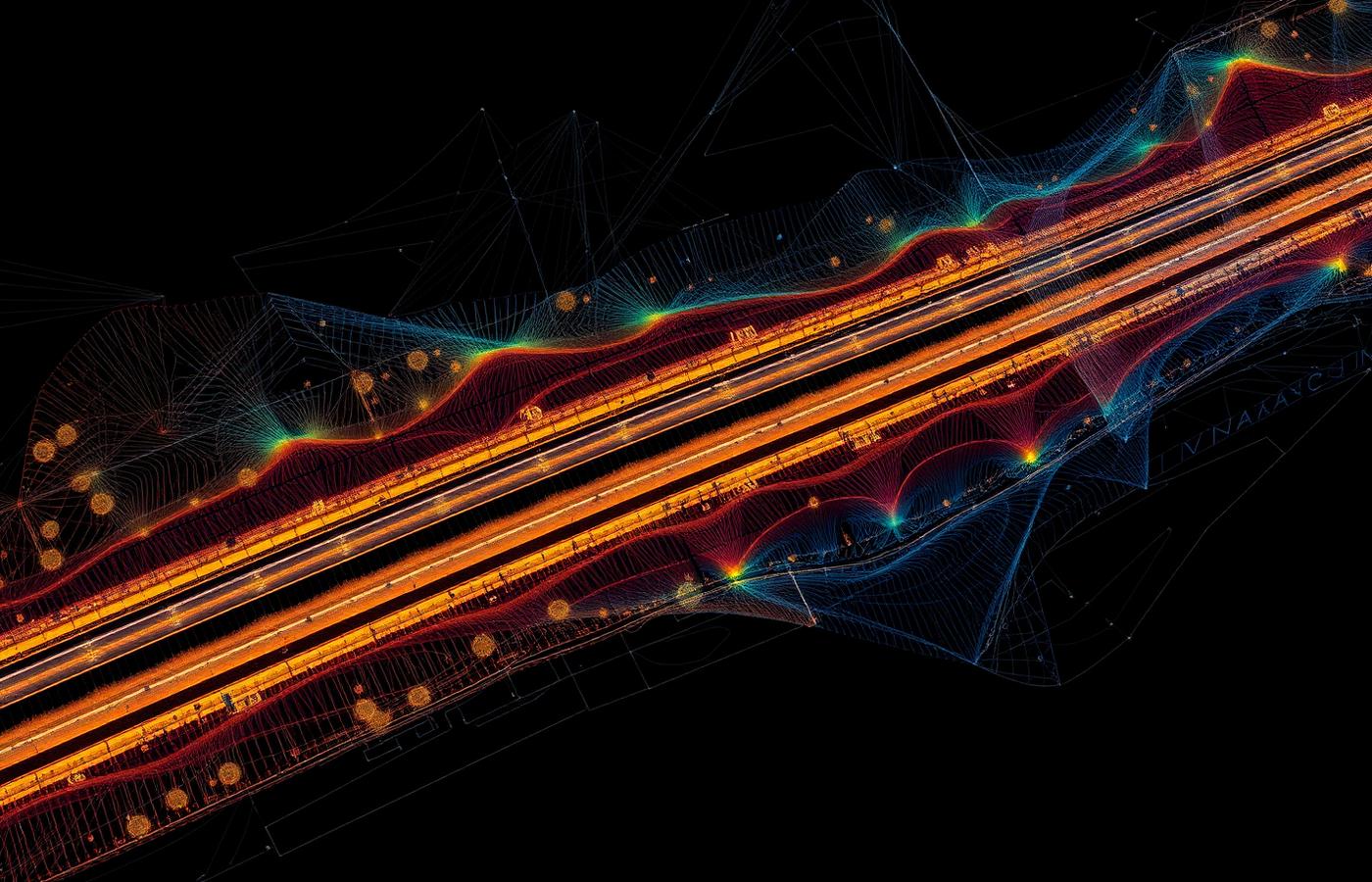
Capture is only half the job: billions of LiDAR points must be classified and turned into CAD-ready deliverables. VisionLidar classifies point clouds and produces TIN surfaces, contours, profiles, sections and volumes; VisionCivil Pro handles civil design and VL365 shares projects in a web browser.
Scopri Geo-Plus nel tuo flusso di lavoro.
Prenota una demo di 30 minuti con uno specialista senior di prodotto, pensata per il tuo settore.