
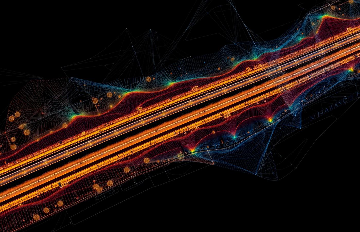
LiDAR measures distances with laser pulses and can reach the ground beneath vegetation; photogrammetry reconstructs geometry from overlapping photos and excels at orthophotos on open, textured surfaces.
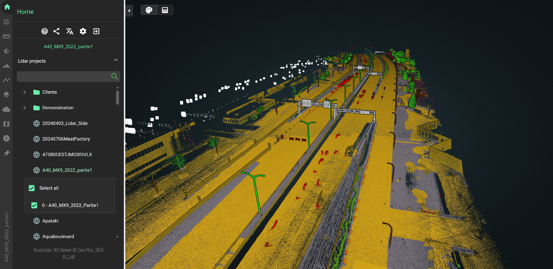
Both produce point clouds. VisionLidar classifies them and generates TIN surfaces, contours, profiles, sections and volumes for your CAD, and VL365 shares results in a browser.
Scopri Geo-Plus nel tuo flusso di lavoro.
Prenota una demo di 30 minuti con uno specialista senior di prodotto, pensata per il tuo settore.