
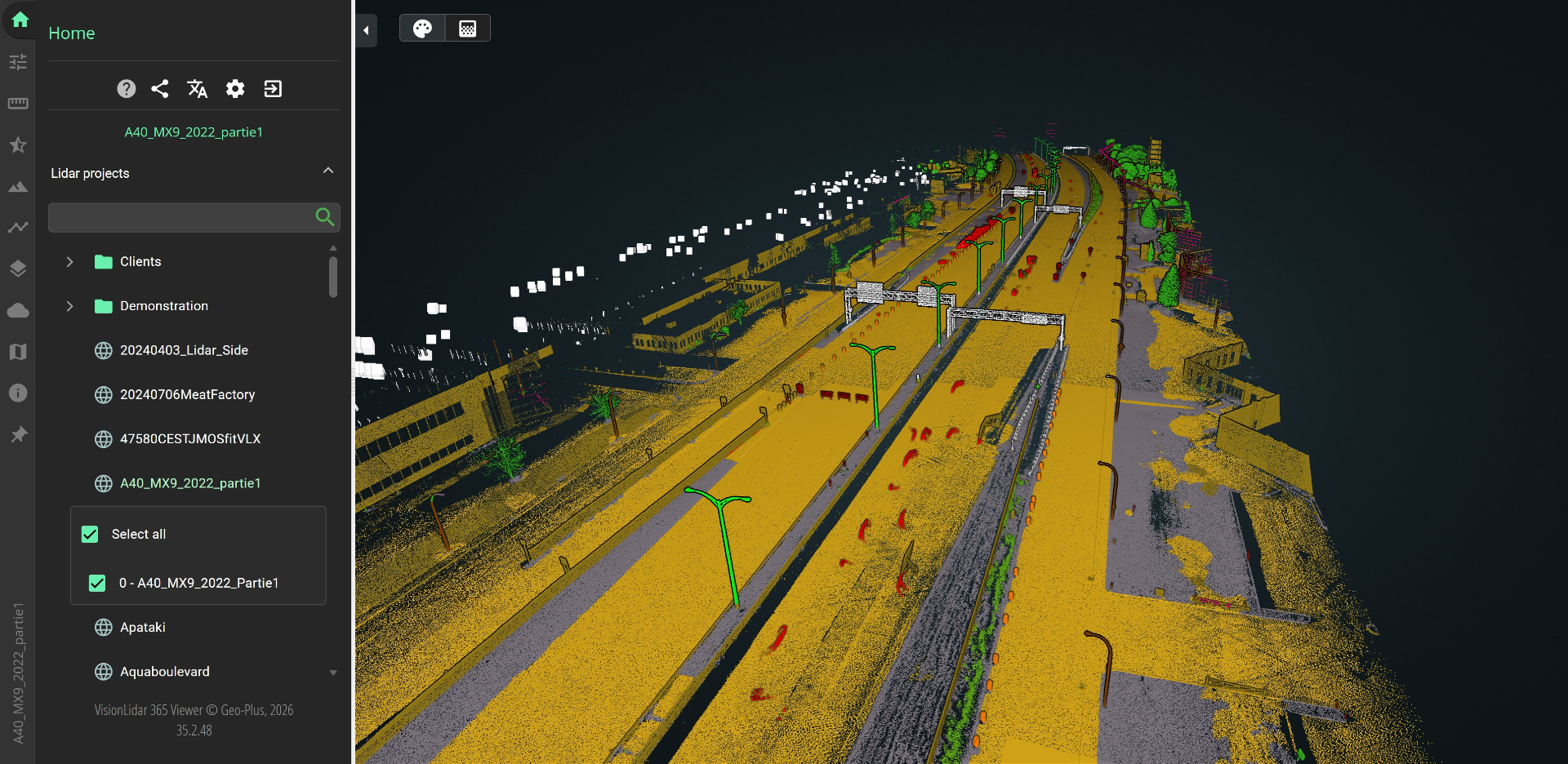
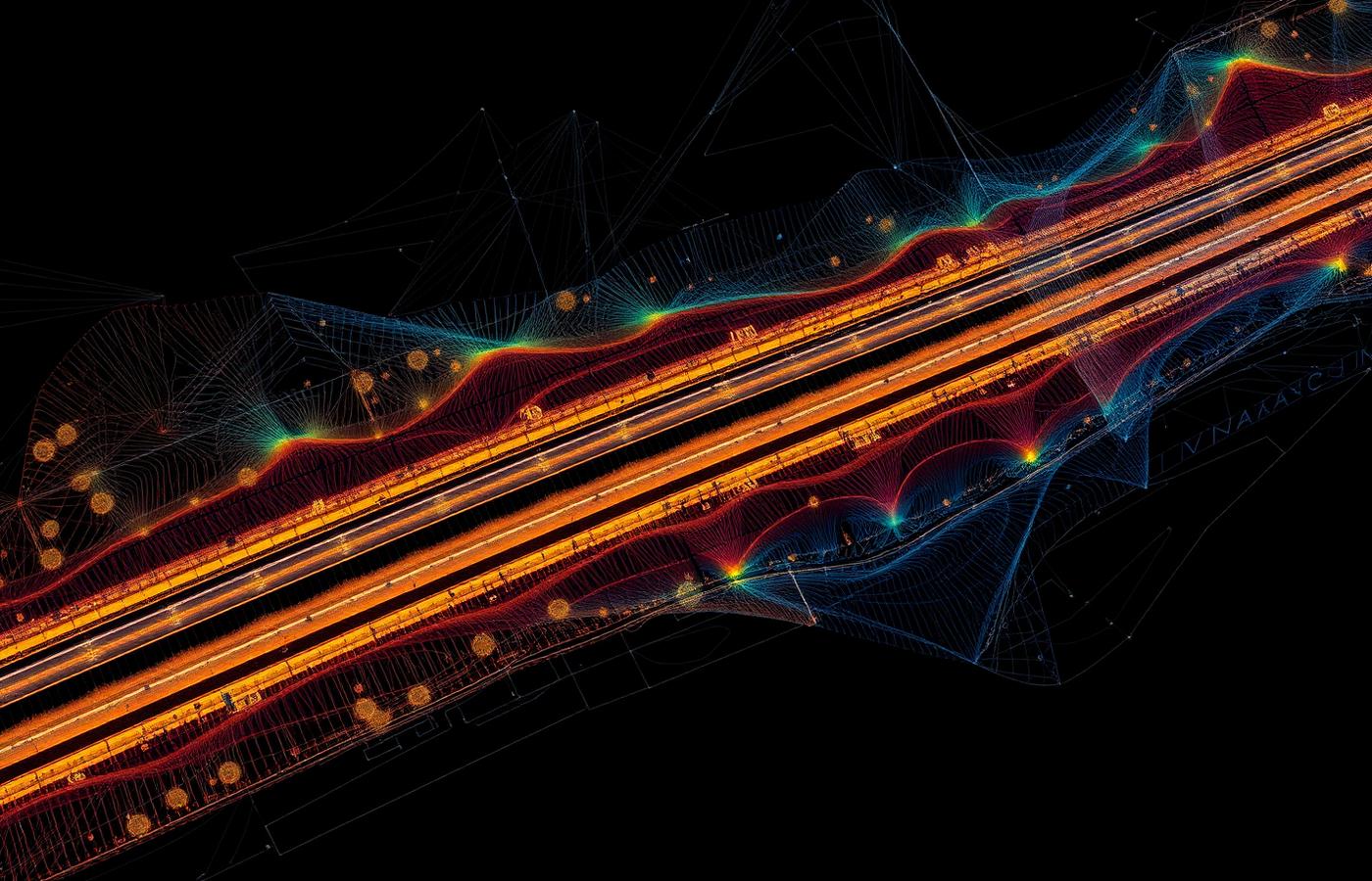
LiDAR measures distance with laser pulses and produces 3D point clouds from aerial, drone, terrestrial and mobile surveys.
VisionLidar processes projects of several billion points, classifies up to 128 classes and extracts poles, curbs, road markings and power lines for surveying, road, rail and utility work.
Scopri Geo-Plus nel tuo flusso di lavoro.
Prenota una demo di 30 minuti con uno specialista senior di prodotto, pensata per il tuo settore.