All in all, Geo-Plus software for point cloud processing and land surveying


Undoubtedly, Geo-Plus Vision Suite has been scanning the earth since 1987.
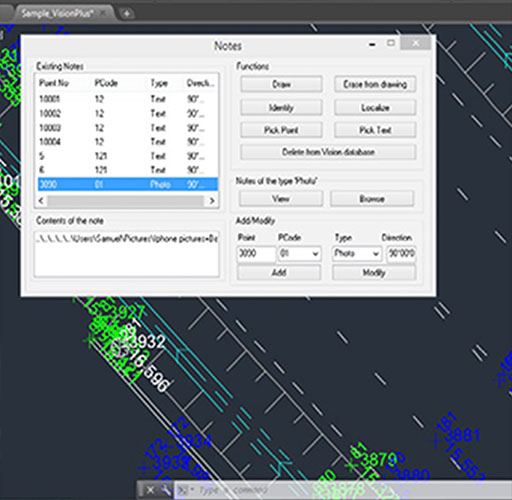
Our Vision Suite software includes more than 18 3D-measurement, 3D-structure, geometry, cadastre and document management solutions for infrastructure professionals.
On the other hand, most of our applications are fully integrated with AutoCAD®, Map3D®, Civil3D®, MicroStation®, and Bricscad® platforms. Our line of solutions is consistently at the cutting edge of CAD/GIS technology.

36
YEARS

61 k.
CLIENTS

18
SOFTWARE

34
RESELLERS

40
COUNTRIES
Geo-Plus Software


GeoIgnite Ottawa
In summary
Address: Ottawa Conference and Event Centre – Booth 16
Date: May 13-15 2024

Geo-Plus at BIM World
In summary
Address: Paris Expo – Booth B21
Date: April 3-4 2024

Geo Week
In summary
Address: Denver – Co USA – Booth 723
Date: February 11-13 2024
GeoMTL
In summary
Address: Montréal Convention Center – Booth 15
Date: October 18-19 2023

Geo-Plus at Intergeo
In summary
Address: Berlin Germany – Booth e27.54
Date: October 10-12 2023

Commercial UAV Expo
In summary
Address: Vegas USA – Booth 747
Date: September 5-7 2023

FIG Working Week
In summary
Address: Florida USA – Booth 502
Date: May 28 – June 1st 2023

Geo-Plus at BIM World
In summary
Address: Paris France – Booth B40
Date: April 5-6 2023

Geo Week
In summary
Address: Denver USA – Booth 626
Date: February 13-15 2023

Intergeo
In summary
Address: Essen Germany – Booth B3.082
Date: October 18-20 2022

53e OAGQ
In summary
Address: Hotel Sheraton Laval – Quebec
Date: September 22-24 2022

Geo-Plus at Commercial UAV Expo
In summary
Address: Vegas USA – Booth 922
Date: September 6-8 2022

BIM World
In summary
Address: Paris France
Date: April 5-6 2022

ILMF
In summary
Address: Denver USA
Date: February 6-8 2022
Intergeo
In summary
Address: Berlin Germany
Date: October 13-15 2020

SPAR 3D
In summary
Address: Anaheim California – USA
Date: June 3-5 2020

ILMF
In summary
Address: Washington – USA
Date: March 23-25 2020

Intergeo
In summary
Address: Stuttgart Germany – Booth 304
Date: September 17-19 2019

ESRI User Conference
In summary
Address: San Diego – California USA
Date: July 8-12 2019

Spar 3D
In summary
Address: Anaheim – California USA
Date: May 21-23 2019

Hanoi Working Week
In summary
Address: Hanoi Vietnam
Date: April 22-26 2019
Geo-Plus and Geomatics… The science of “truth and accuracy”
Geomatics has always been a science of “truth and accuracy” containing a set of geographic techniques. All in all, it has evolved technically and strategically.
A short story about LiDAR technology from Geo-Plus
While many believe that LiDAR technology only recently appeared, it was actually created in the 1960s. Basically after the invention of the laser…

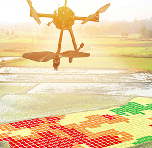
Exploring the Power and Potential of LiDAR by Geo-Plus
LiDAR is a 3D mapping technology using lasers. On the other hand, VisionLidar is a software for processing and analyzing LiDAR data in real-time with advanced features for data analysis.

How to choose the right LiDAR for your needs from Geo-Plus
There are basically only two main categories of LiDAR. The first one is the airborne type and the second one is the terrestrial type… This article explains it all!