LiDAR, survey and civil engineering software built for people who measure the world.
13 purpose-built products for surveyors, engineers, contractors, architects, appraisers and manufacturers. Native to AutoCAD, Civil3D, MicroStation and Bricscad, trusted by 70,000+ users in 40 countries.
Survey, LiDAR and civil design software for surveyors and engineering firms
Since 1987, Geo-Plus has built surveying and point cloud software that runs inside AutoCAD, Civil3D, BricsCAD and MicroStation, so your teams go from field survey to deliverable plan in the CAD tools they already use.
13 tools. One coherent workflow, from field to deliverable.
Modular by design, pick only what your team uses. Every product is CAD-native, integrates with your existing stack, and is backed by a real support team.
CIMA+ cuts its point cloud footprint by 75% with VL365
From 40 TB of structured scans to 10 TB of unified LAZ on VL365: same accuracy, same density, same immersive 360° views — no more per-scan-position billing and no format lock-in.
transportation
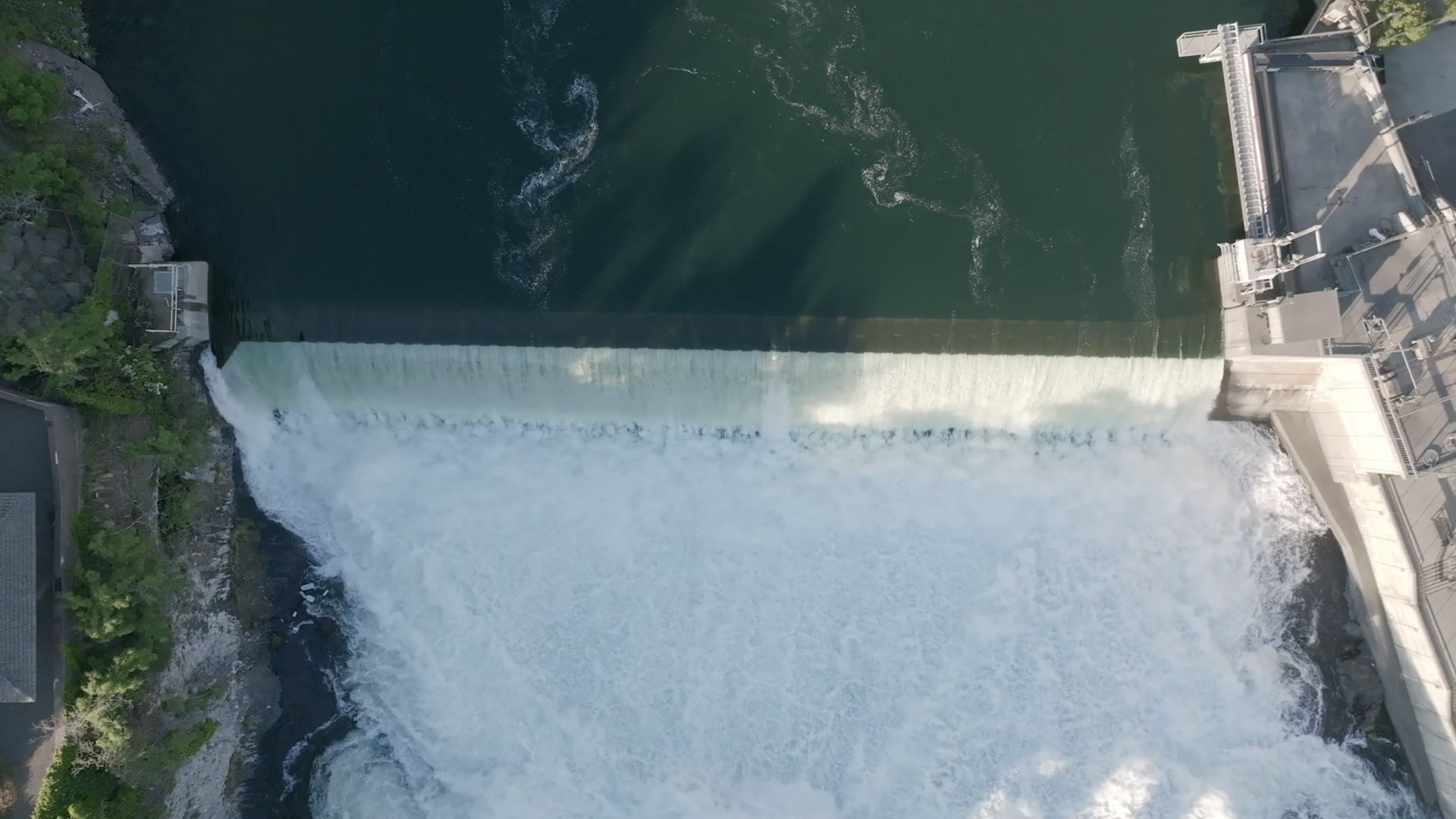
Province-wide highway and road network surveyed end-to-end by Transport Québec
The Ministry of Transport uses VisionPlus, VisionCadastre, and other software, ensuring high efficiency in the production of road survey projects throughout Quebec.
municipal
Ville de Montréal modernizes cadastral workflows
Automated plan production cuts turnaround for city surveyors.
manufacturing
Renault Group digitizes its plants completely
Thanks to VisionLidar, VL365, and other software, it produces digital twins, allowing multiple divisions and trades to make informed decisions, all remotely.
From the blog
Field notes on LiDAR, geomatics and civil engineering.
Thought Leadership · Nov 14, 2025
Geo-Plus and Geomatics: The Science of Truth and Accuracy
Why the discipline of geomatics matters more than ever in the era of digital twins.
LiDAR · Oct 2, 2025
A Short Story About LiDAR Technology
From military range-finding to everyday infrastructure, a brief history of LiDAR.
LiDAR · Aug 21, 2025
Exploring the Power and Potential of LiDAR
The applications reshaping AEC, transportation, and utilities right now.
Buyer's Guide · Jun 11, 2025
How to Choose the Right LiDAR for Your Needs
A practical framework for scanner selection: range, accuracy, deployment and budget.
See Geo-Plus in your workflow.
Book a 30-minute demo with a senior product specialist, tailored to your industry.