
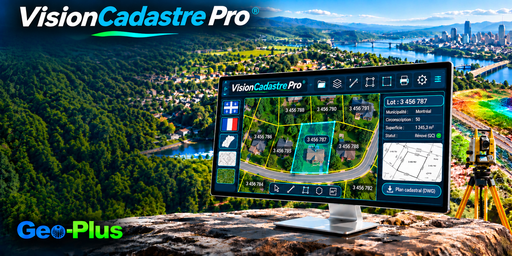
VisionCadastre Pro — automate cadastral operations with accuracy, compliance and efficiency.
Validation, MERN compliance and cadastral plan production, right inside your CAD environment.
Speed up your cadastral operations
Automate validations across documents, forms, plans and extraction files. VisionCadastre Pro cuts manual checks, repetitive tasks and the time needed to complete each file.
Stay compliant with MERN standards
Produce cadastral operations according to the requirements of Québec's Ministère des Ressources naturelles et des Forêts. Structuring, measurements and production tools follow ministerial standards directly.
Reduce errors before delivery
Automatically analyze parcel topology, validate fixed measurements and quickly spot drafting defects. You get more accurate plans and lower the risk of corrections or rejections.
Simplify cadastral plan production
Use dedicated tools to generate structuring, reference arrows, enlargement insets and map reduction zones. Plan layout becomes faster, more consistent and more efficient.
Work directly in your CAD environment
Create and manage cadastral parcels without leaving your usual design platform. VisionCadastre Pro integrates with AutoCAD, Civil 3D, MicroStation and BricsCAD, protecting your workflows and technology investments.
土地測量士、地籍担当部署。
トラバースを閉合し、面積を計算し、図面を即座に作成します。
境界と隣接地の記述をワンクリックで作成します。
ケベック州および国際規格のテンプレート。

"CIMA+ が VL365 で点群データ容量を 75% 削減"
40 TB の構造化スキャンを VL365 上の 10 TB の統合 LAZ に。精度、密度、360° ビューはそのままに、スキャン位置ごとの課金やフォーマットへの依存もありません。
ほかの導入事例を読む →VisionCadastre Pro のデモを依頼
プロジェクトについてお聞かせください。1 営業日以内に上級スペシャリストがご連絡します。