
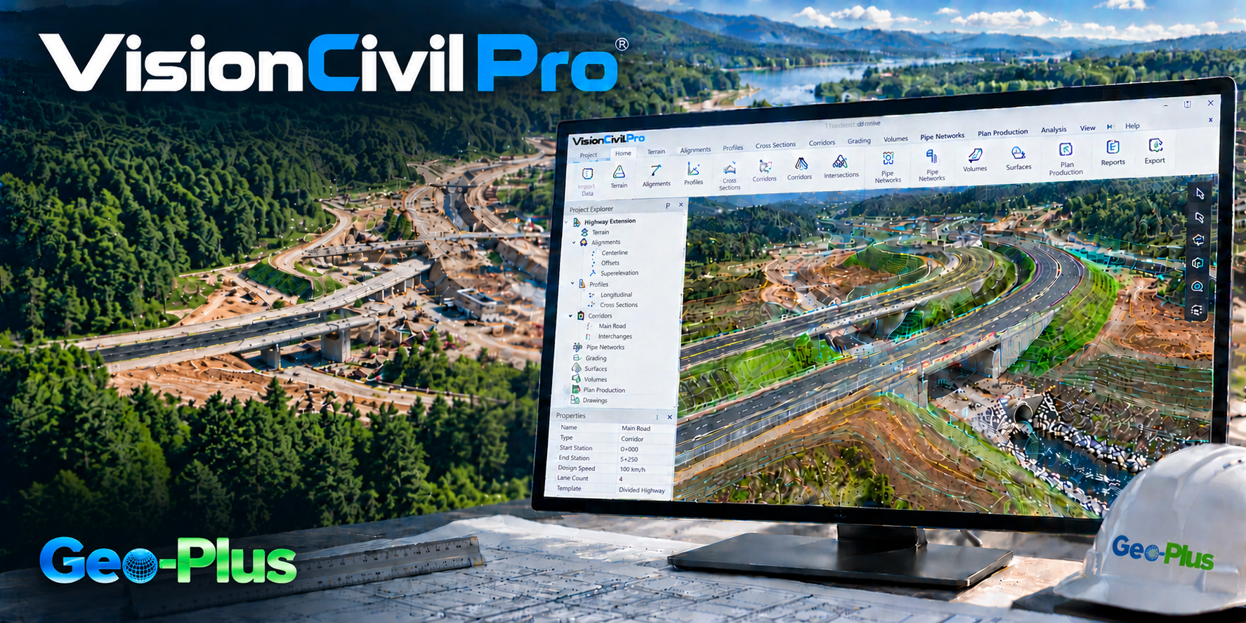
VisionCivil Pro — turn field data into accurate civil projects, faster.
Design, terrain modelling, volumes and LiDAR, right inside your CAD environment.
Design civil projects faster
Automate the creation of parcels, surfaces, profiles and cross sections to drastically cut manual work and speed up drawing production.
Get an accurate representation of the terrain
Create, edit and triangulate surfaces from points and breaklines. VisionCivil Pro faithfully reproduces complex terrain to support more precise, more reliable designs.
Compute volumes with confidence
Choose from four calculation methods: surface comparison, plane comparison, cross sections or solids. You get estimates suited to every earthwork or development project.
Turn LiDAR data into usable surfaces
Generate optimized surfaces by thinning point clouds while keeping the key points that define real terrain behaviour. You reduce data complexity without sacrificing accuracy.
Work directly in your CAD environment
Integrate VisionCivil Pro with your professional platforms, including AutoCAD, Civil 3D, MicroStation and BricsCAD. Teams keep their familiar tools while gaining advanced civil engineering and land development capabilities.
土木エンジニア、道路・造成設計チーム。
動的コリドーで道路や鉄道を設計します。
土量レポートで切土・盛土を最適化します。
平面図、縦断図、数量表。
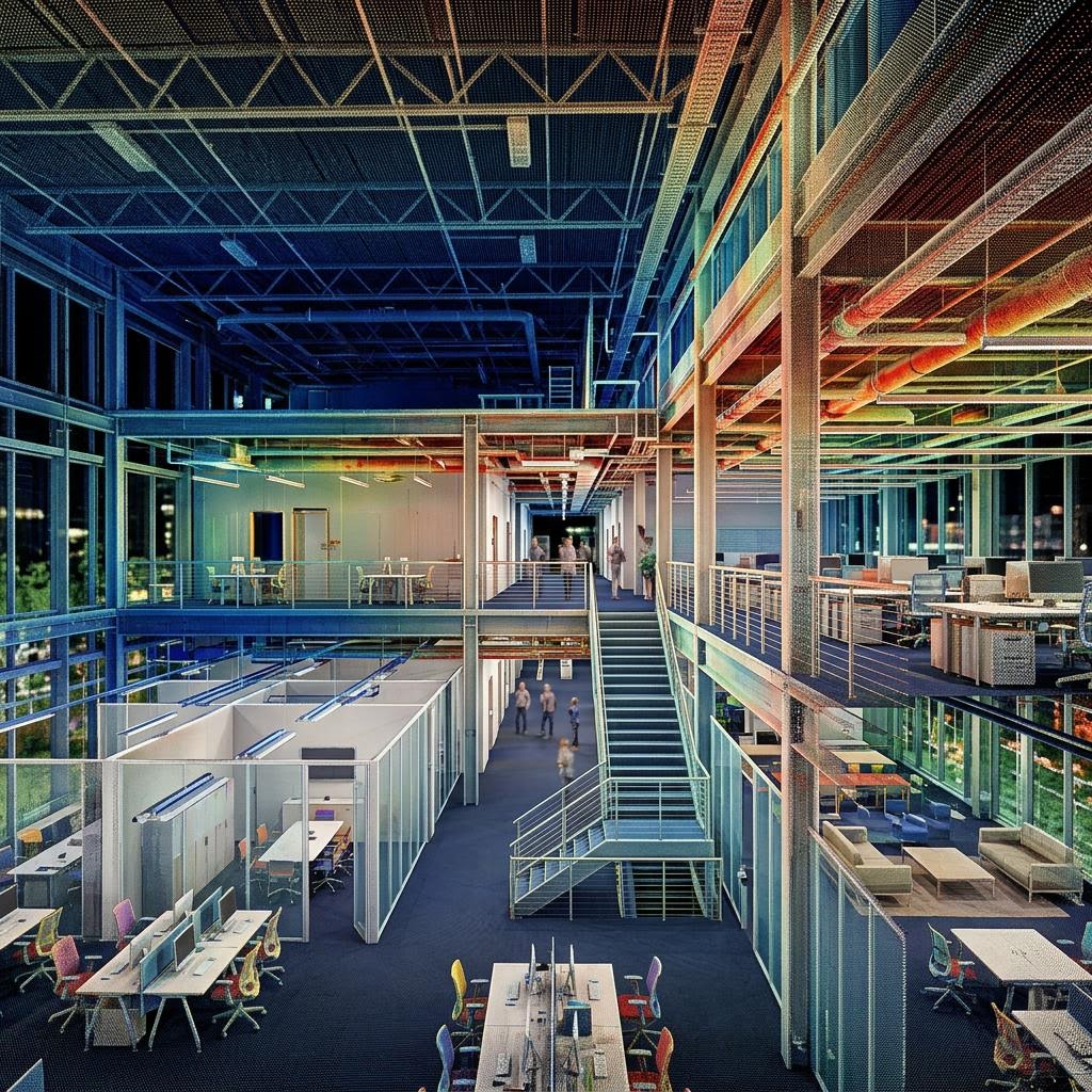
"CIMA+ が VL365 で点群データ容量を 75% 削減"
40 TB の構造化スキャンを VL365 上の 10 TB の統合 LAZ に。精度、密度、360° ビューはそのままに、スキャン位置ごとの課金やフォーマットへの依存もありません。
ほかの導入事例を読む →VisionCivil Pro のデモを依頼
プロジェクトについてお聞かせください。1 営業日以内に上級スペシャリストがご連絡します。