
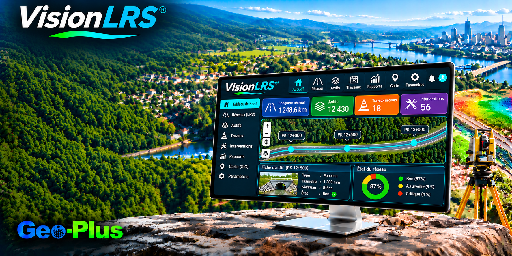
VisionLRS Your linear networks, connected with precision.
One solution to reference, validate and share the data of your roads, railways and pipelines.
Centralize the management of your linear networks
Easily integrate and reference geospatial data for your roads, railways, pipelines and other linear infrastructure from a single solution.
Automate updates and reduce errors
Automatically sync changes made to networks and related data. You cut manual handling, improve data consistency and save valuable time.
Validate data directly in the field
Quickly collect and verify key points from a mobile app, backed by comments and photos. Teams correct anomalies earlier and speed up project delivery.
Collaborate in real time on always-current data
Share data, maps and documents in a secure cloud environment. Office and field teams work from the same information, improving coordination and decision-making.
Work anywhere, even without an internet connection
Access VisionLRS on desktop, Android or iOS. Download maps to your device to keep operating in areas with weak or no Wi-Fi coverage.
交通当局、鉄道事業者、パイプライン・公益設備の資産管理者。
動的区間分割による道路、区間、セクション。
ArcGIS およびオープン規格に対応。
状態と施工履歴を時系列で追跡。

"CIMA+ が VL365 で点群データ容量を 75% 削減"
40 TB の構造化スキャンを VL365 上の 10 TB の統合 LAZ に。精度、密度、360° ビューはそのままに、スキャン位置ごとの課金やフォーマットへの依存もありません。
ほかの導入事例を読む →VisionLRS のデモを依頼
プロジェクトについてお聞かせください。1 営業日以内に上級スペシャリストがご連絡します。